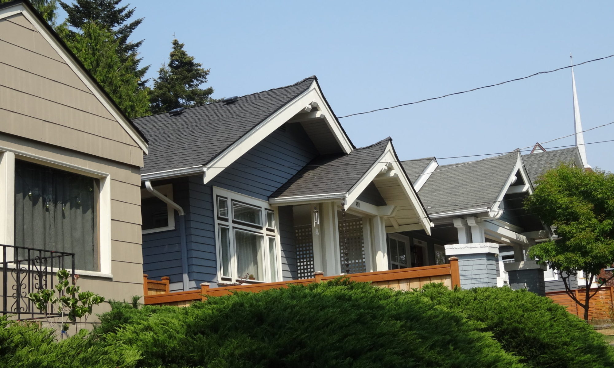
Local historians often reference the Nyberg and Steinbrueck neighborhood surveys of the mid-1970s. They’re referring to a citywide inventory of the built environment by architects Folke Nyberg and Victor Steinbrueck that identified common building types, significant buildings, and urban design elements. Historic Seattle – then a newly established public development authority – commissioned the study, which was completed in 1976 and is officially called A Visual Inventory of Buildings and Urban Design Resources for Seattle, Washington.
Wallingford is one of the 16 areas featured in the study. To see the report, click the image to the right. All 16 reports are available on Historic Seattle’s website.
Although the reports are only current through the mid-1970s, they provide many details not found on any other city map.

